Log in
All resources
Create a design
14,157 Free Artworks of Bibliotheque Nationale
bibliothèque nationale de france
engraving
atlas geographico del reyno de españa e islas adjacentes (1757)
jean duplessis-bertaux
lithograph
félix-auguste duvert
photographs of félix-auguste duvert by nadar
illustrations of jean de la fontaine's fables by eugène lambert
eugène lambert
maps of spain by tomas lopez
maps of spain by tomas lopez
1761 maps of spain
18th-century maps of veneto
1700s maps of slovenia
maps from gallica
old maps of psarà
maps of cagliari by braun & hogenberg
maps of valletta by braun & hogenberg
19th-century actresses from france
jean-jacques elshoecht
1750s maps of saxony
old maps of leipzig
madrid in the 1820s
maps by juan lopez
old maps of gdańsk
baroque
1780s maps of portugal
maps by tomas lopez
françois grenier de saint-martin
la muette de portici
old maps of henan
maps with figures
istanbul in the 1780s
maps by tomas lopez
photographs by ernest-eugène appert
pierre-edmond teisserenc de bort
old maps of the kingdom of naples
lago patria
academic art
paul dumouza
18th-century maps of the azores
1780s maps of portugal
maps by alexis-hubert jaillot
old maps of toulouse
maps of spain by tomas lopez
1779 maps of spain
clément bellenger
academic art
1770s maps of portugal
1770 maps of spain
18th-century maps of the bahamas
18th-century maps of hispaniola
maps of helsingborg by braun & hogenberg
maps of lund by braun & hogenberg
wilbrode-magloire-nicolas courbe
achille pierre dionis du séjour
maps of spain by tomas lopez
old maps of lanzarote
17th-century illuminated manuscripts from france
jacques bailly (i)
quartier de la villette
pierre langlumé
maps by willem and johannes blaeu
maps of rügen by eilhard lubinus
engraved portraits of men from france
louis alexandre, count of toulouse
maps of dunkerque by braun & hogenberg
maps of bourbourg by braun & hogenberg
maps from gallica
maps of antwerp
maps from gallica
baroque
siege of strasbourg
émile schweitzer
maps facing east
anton wied
photographs by étienne carjat
frédérick lemaître
caricatures of émile de girardin
charcoal on paper
photographs of félix-auguste duvert by nadar
félix-auguste duvert
photographs of félix-auguste duvert by nadar
félix-auguste duvert
photographs of félix-auguste duvert by nadar
félix-auguste duvert
photographs of félix-auguste duvert by nadar
félix-auguste duvert
photographs of félix-auguste duvert by nadar
félix-auguste duvert
portraits of casimir delavigne
françois-séraphin delpech
1410s fashion
houppelande
1793 in paris
girondins
synopsis universae philologiae
1710s maps of the world
a new & correct map of england and wales (foster)
1750s maps of england
old maps of the bay of gibraltar
18th-century maps of gibraltar
wilbrode-magloire-nicolas courbe
olivier-stanislas perrin
collection complète des tableaux historiques de la révolution française
pierre-philippe choffard
maps by guillaume sanson
maps by nicolas sanson
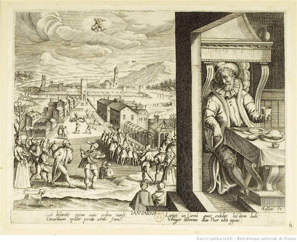
engravings of months by jacques callot
january in art
lionello d'este medals by pisanello
veronese school,renaissance
ornithologie (1760) by mathurin jacques brisson
engraving
barbizon school
eugène cicéri
maps of antequera by braun & hogenberg
bibliothèque nationale de france
atlas geographico del reyno de españa e islas adjacentes (1757)
old maps of asturias
maps from gallica
guides joanne
map of europe by guillaume sanson (1674)
bibliothèque nationale de france
lionello d'este medals by pisanello
veronese school,renaissance
atlas geographico del reyno de españa e islas adjacentes (1757)
18th-century maps of catalonia
illustrations from jean de la fontaine's ''tales and novels in verse'' by charles-nicolas cochin (ii)
on ne s'avise jamais de tout
bibliothèque nationale de france
carolus allard
philippe simonneau
engraving
maps by willem and johannes blaeu
1690s maps of indonesia
illustrations of jean de la fontaine's fables by eugène lambert
le pot de terre et le pot de fer
bibliothèque nationale de france
guillaume sanson
atlas geographico del reyno de españa e islas adjacentes (1757)
old maps of castile and león
sanson maps of the circles of germany
bibliothèque nationale de france
illustrations of jean de la fontaine's fables by auguste delierre
le chien à qui on a coupé les oreilles
illustrations of jean de la fontaine's fables by auguste delierre
le rat qui s'est retiré du monde
bibliothèque nationale de france
rémy hausermann
illustrations from jean de la fontaine's ''tales and novels in verse'' by duplessis-bertaux
on ne s'avise jamais de tout
illustrations of jean de la fontaine's fables by eugène lambert
le chien qui lâche sa proie pour l'ombre
battle of dorylaeum (1097)
passage outremer
paris vers 1530 (plan de georges braun, "aux trois personnages")
bibliothèque nationale de france
map of the circle of bavaria by sanson
bibliothèque nationale de france
17th-century maps of the indian ocean
maps by willem and johannes blaeu
bibliothèque nationale de france
cartouches by tomas lópez
19th-century maps of south america
ambroise tardieu
illustrations of jean de la fontaine's fables by eugène lambert
les deux perroquets, le roi et son fils
illustrations from jean de la fontaine's ''tales and novels in verse'' by duplessis-bertaux
comment l'esprit vient aux filles
maps by willem and johannes blaeu
1690s maps of indonesia
illustrations from jean de la fontaine's ''tales and novels in verse'' by duplessis-bertaux
la fiancée du roi de garbe
illustrations from jean de la fontaine's ''tales and novels in verse'' by duplessis-bertaux
la gageure des trois commères
maps of the course of the rhine by guillaume sanson
bibliothèque nationale de france
atlas geographico del reyno de españa e islas adjacentes (1757)
1750s maps of portugal
maps of italy by sanson and cordier
bibliothèque nationale de france
illustrations from jean de la fontaine's ''tales and novels in verse'' by romeyn de hooghe
la gageure des trois commères
philippe simonneau
engraving
atlas geographico del reyno de españa e islas adjacentes (1757)
old maps of aragon
sanson maps of south america
1719 maps of south america
atlas geographico del reyno de españa e islas adjacentes (1757)
old maps of the region of murcia
1782 maps of the caribbean
maps by juan lopez
bibliothèque nationale de france
carolus allard
atlas geographico del reyno de españa e islas adjacentes (1757)
maps of galicia (spain)
bibliothèque nationale de france
noviciat des jésuites (paris)
illustrations of jean de la fontaine's fables by eugène lambert
le corbeau, la gazelle, la tortue et le rat
bibliothèque nationale de france
sanson map of lorraine
illustrations of jean de la fontaine's fables by eugène lambert
l'âne chargé d'éponges et l'âne chargé de sel
sanson maps of the circles of germany
bibliothèque nationale de france
illustrations of jean de la fontaine's fables by tigrane polat
les deux rats, le renard et l'œuf
5001 - 5100 of 14,157
Next page
/ 142